

Product Description
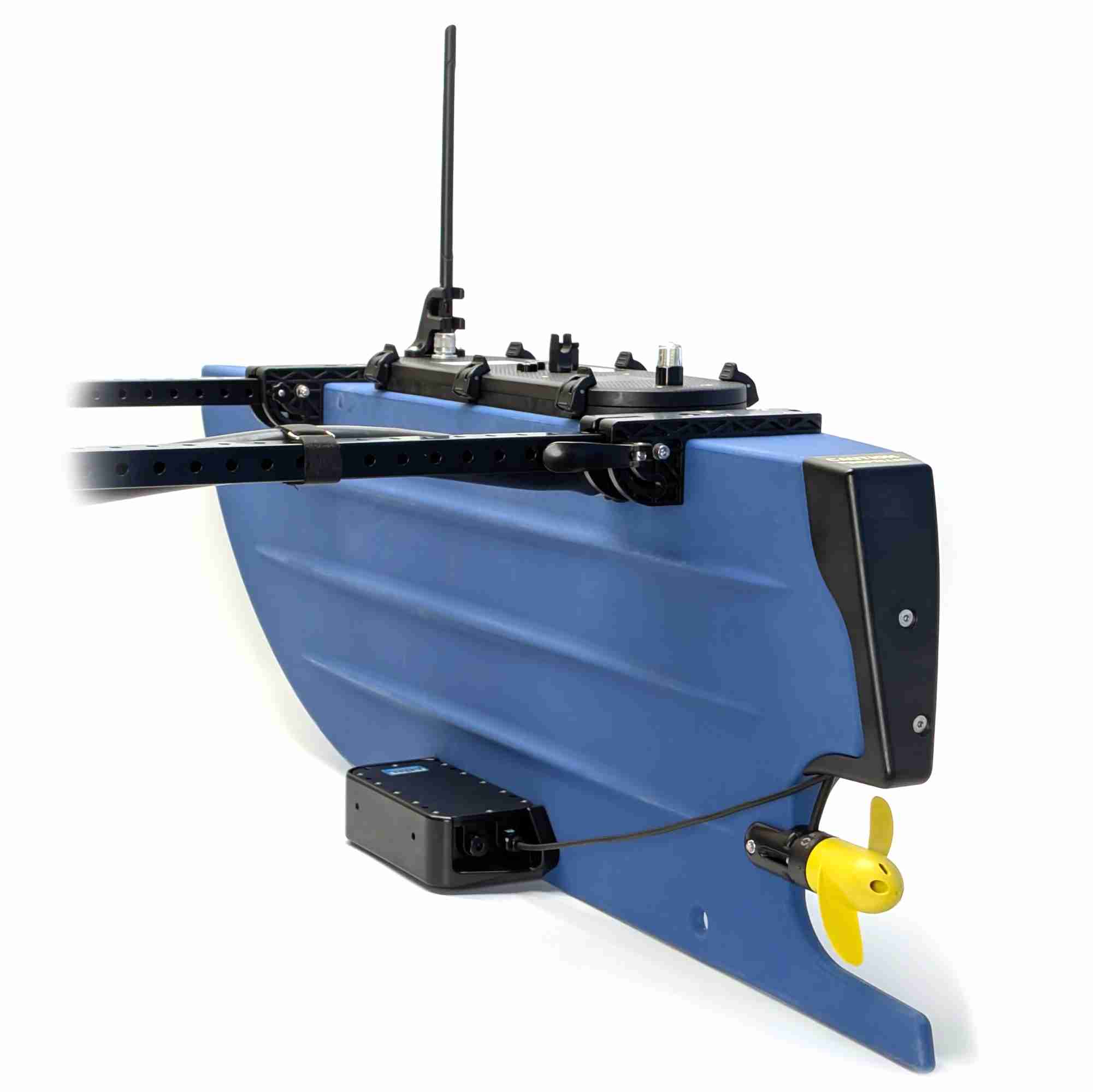
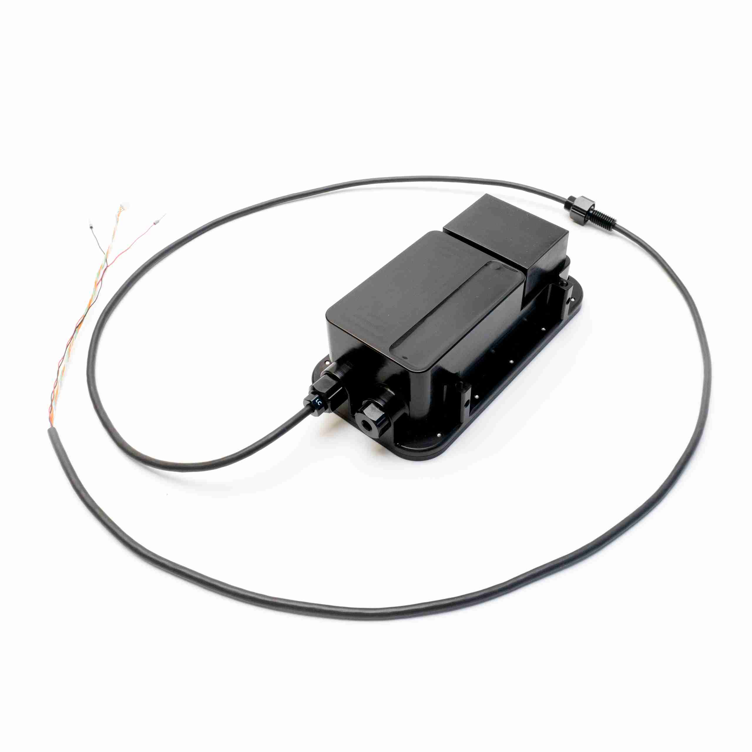
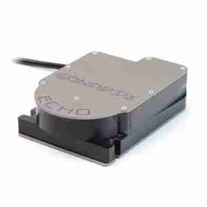
The Cerulean Surveyor is a multibeam echosounder that transforms the BlueBoat into a powerful bathymetry and seafloor mapping machine. What sets the Surveyor apart from other multibeam sonars is its affordability, offering high-precision sonar technology at a fraction of the cost.
A multibeam echosounder is a type of sonar used to map the seafloor or underwater terrain. Unlike a single beam echosounder, which only measures one point of depth directly beneath it, a multibeam echosounder captures many depth points at once to quickly map an area in detail.

The Surveyor works using 240 kHz sound waves in a wide 80-degree swath, allowing it to map large areas quickly. Using its 16-element receive array it listens for the returning echoes. By measuring the strength and time of each return, the system calculates the angle and depth of a wide swath of points on the seafloor from a single ping. It typically measures depths up to 50 meters below the vessel, with even greater range possible in ideal conditions (harder substrates).
These depth points form a point cloud, which is used to create a detailed 3D map of the underwater terrain.
A built-in 9-axis inertial measurement unit (IMU) provides pitch and roll compensation, so the movement of the boat won’t distort the data, even in choppy waters. The aluminium housing is depth rated to 300 meters, so it can also be used on AUVs and ROVs.
Streamlined Data with SonarView
The Surveyor works with Cerulean’s SonarView software, which is available as a BlueOS extension. SonarView provides a real-time point cloud visualization of your data while surveying. SonarView collects heading and GNSS position data from the BlueBoat and combines it with the depth measurements to accurately place each point in its correct geographic location.
All sonar data is logged directly on the BlueBoat and can be replayed or exported as CSV point cloud data or GSF for post-processing in software like:
- ReefMaster or SonarWiz to generate maps
- point cloud viewing software like CloudCompare
- most hydrographic survey software
Built for BlueBoat
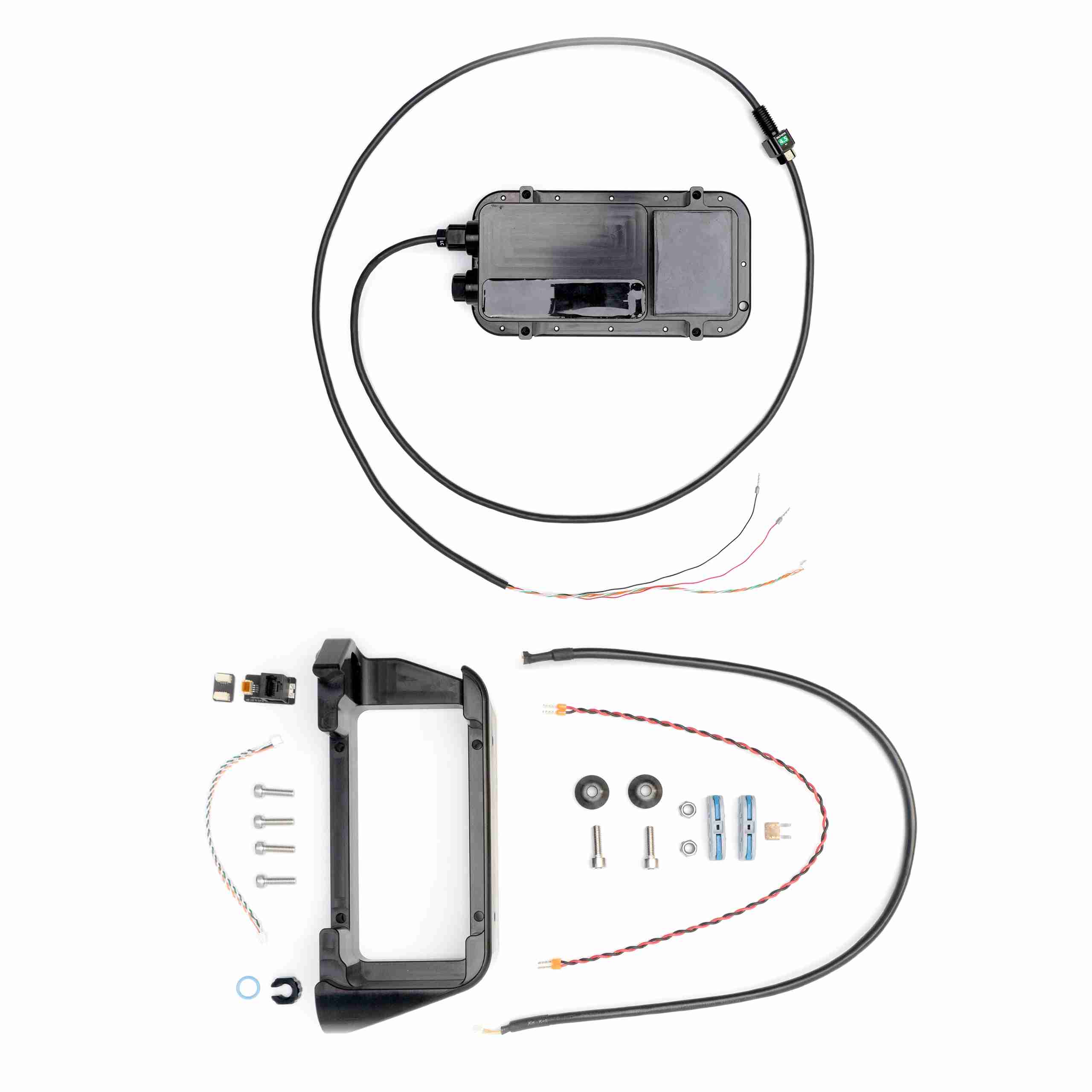
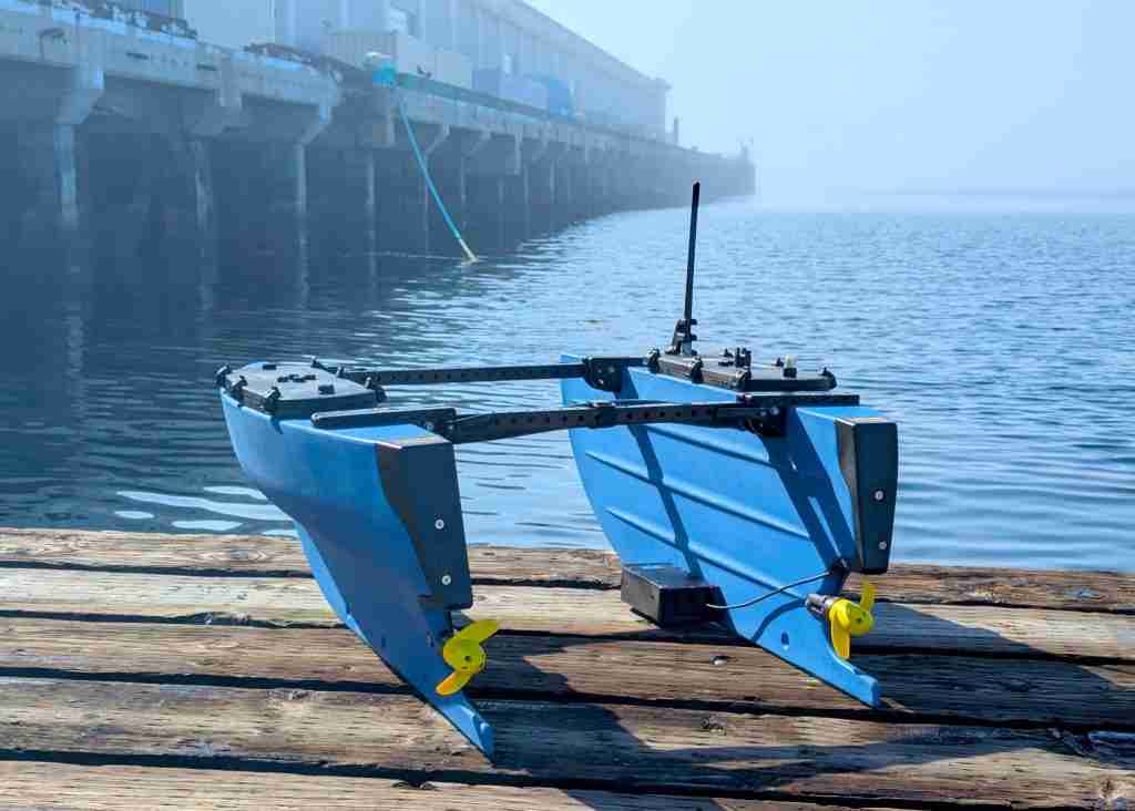
When purchased directly from the Reef, the Surveyor comes with a mounting bracket and all the hardware and cables needed for installation on the BlueBoat. The Surveyor connects to the BlueBoat via Ethernet, so you’ll also need an Ethernet switch onboard. We’ve got a full integration guide with all the details to make setup easy.
Reviews
There are no reviews yet.